From Pokémon GO to Robotics: How Your Data is Training Delivery Robots
Niantic, the company behind the Pokémon GO phenomenon, is utilizing the vast geospatial database collected by its players for an unexpected purpose: training autonomous robots and Artificial Intelligence systems. What began as a journey to capture virtual creatures has become a valuable tool for mapping the physical world in 3D.
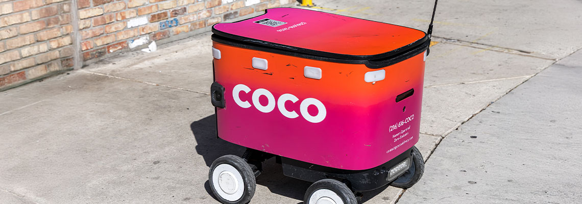
Through the Augmented Reality (AR) scans performed by users, the company has built what it calls the Visual Positioning System (VPS). This detailed data of sidewalks, squares, and building entrances is fundamental for delivery robots and drones to navigate precisely in complex urban environments.
The Advantage of Local Mapping
Unlike traditional GPS, which can suffer from precision issues in large cities due to tall buildings, the mapping generated by the Pokémon GO community offers a ground-level view. This allows AI to understand not just coordinates, but the depth and real-world obstacles along the path.
Privacy and the Future of Automation
While Niantic ensures that the data is anonymized, the project raises discussions about how gaming interactions can fuel commercial infrastructure. The use of this data accelerates the viability of automated delivery services, transforming digital entertainment into a critical database for future logistics.
